Xitou Forest Recreational Area
1. Topography
The Xitou Forest Recreational Area is one of the concave valleys surrounded by mountains in three sides. The highest mountain is Lingtou Mountain in the south with sea level 2,025m. It extends in north to Fenghuang Mountain Range to form the east mountain boundary of this area. It extends in west to Neishu and mountain range, which extends to north forming the south and west mountain boundaries in this area. The streams flow between the mountain range and the exit is in the north. The sea level of major area is 800-2000m.
2. Geology
The Fenghuang Mountain is composed of thick sandstone and is the barrier in the east of Xitou. The thick sandstone of Fenghuang Mountain is on the precipice of the mountain and it is the essential factor for fallen of huge rocks. The property of this sandstone is the deposition from shallow sea five million years ago. Nowadays, it is the mountain with sea level over 1000m. Seas change into mulberry fields and mulberry fields into seas.
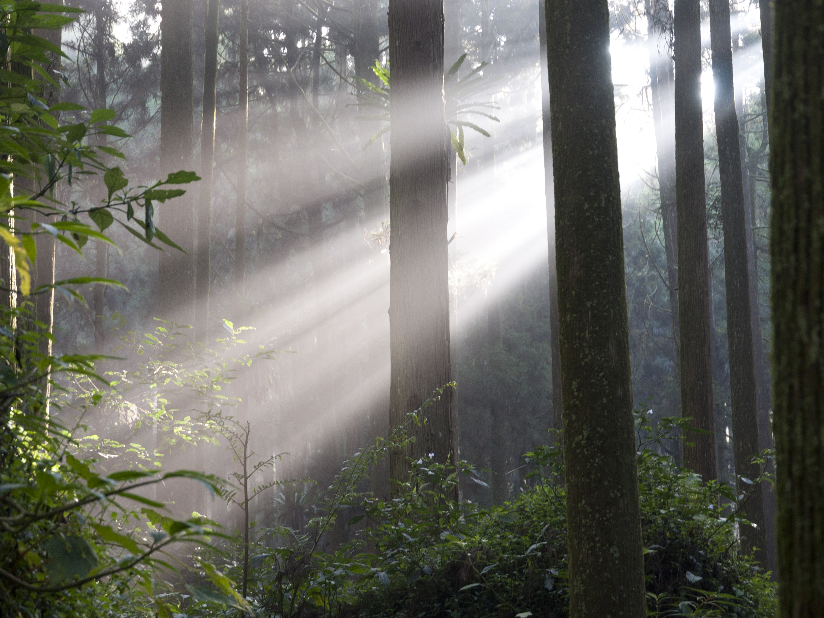
3. Climate
According to the data from Xitou observation station, the average temperature of the month of Xitou is 11.0 - 28 ℃, and the average annual temperature is 16.6℃. The average annual rainfall is 2635.18mm. According to the Thornthwaite climate classification, it belongs to AB'ra' type, which means warm and humid weather. The rainfall is sufficient in the whole year. The effective temperature does not focus in summer and is suitable for compatriots to stay at summer resort.